IN THE FIELD
Capture
Connect the rig, check readiness, name the scan, and watch LiDAR-inertial mapping build the scene live. Raw MCAP recording stays the priority.
 Explore the beta
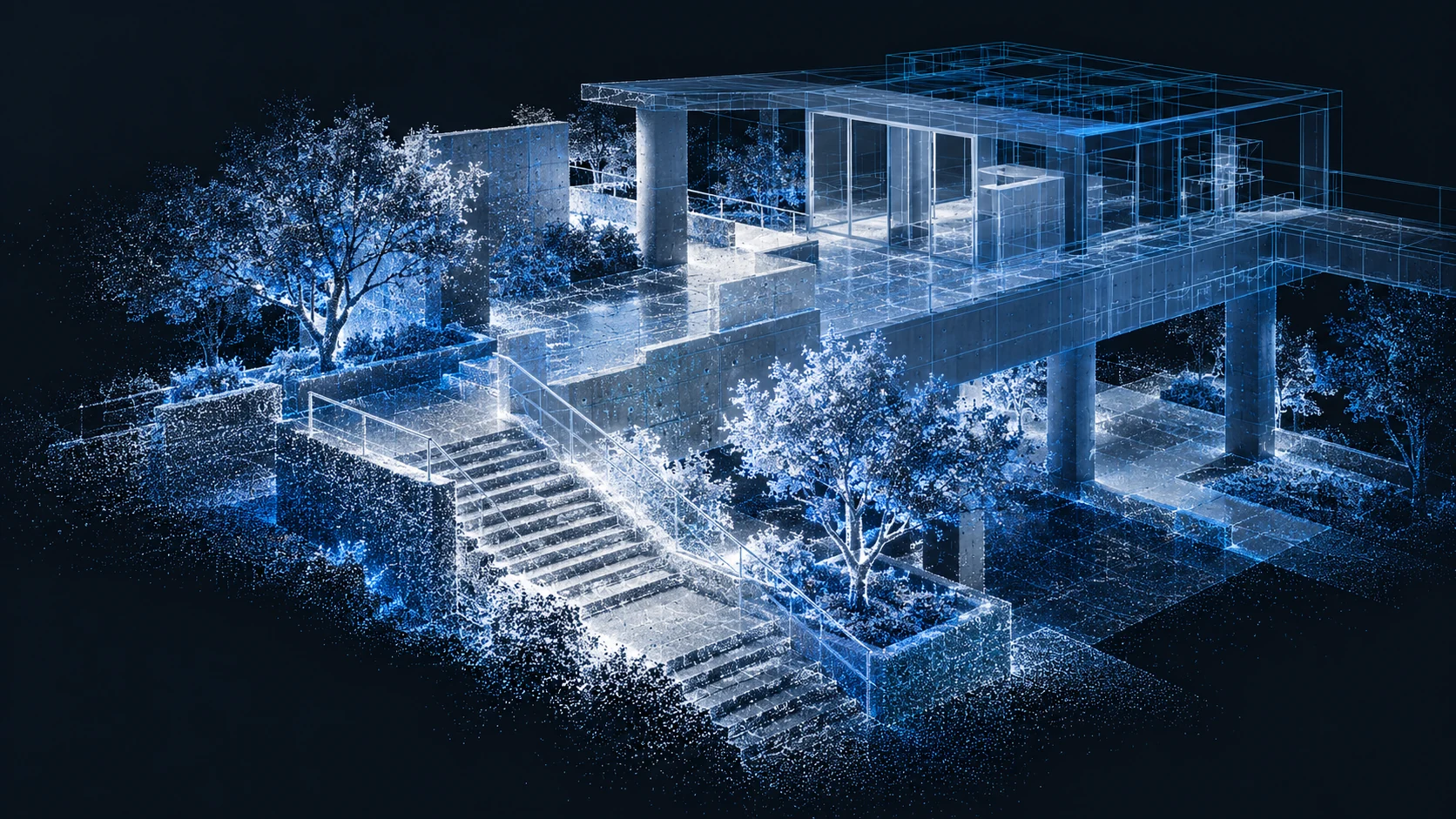
MULTI-SENSOR REALITY CAPTURE BETA AVAILABLE
One Windows suite to capture, process, and deliver the physical world in extraordinary detail.
Real places are complex. Luna Capture brings LiDAR, inertial motion, imagery, satellite positioning, and multispectral data into one coherent field workflow.
Built as a native Windows application for operators who need more than a beautiful preview.
A COMPLETE WORKSPACE
Move from the live scan to a workable, measurable point cloud without changing tools.
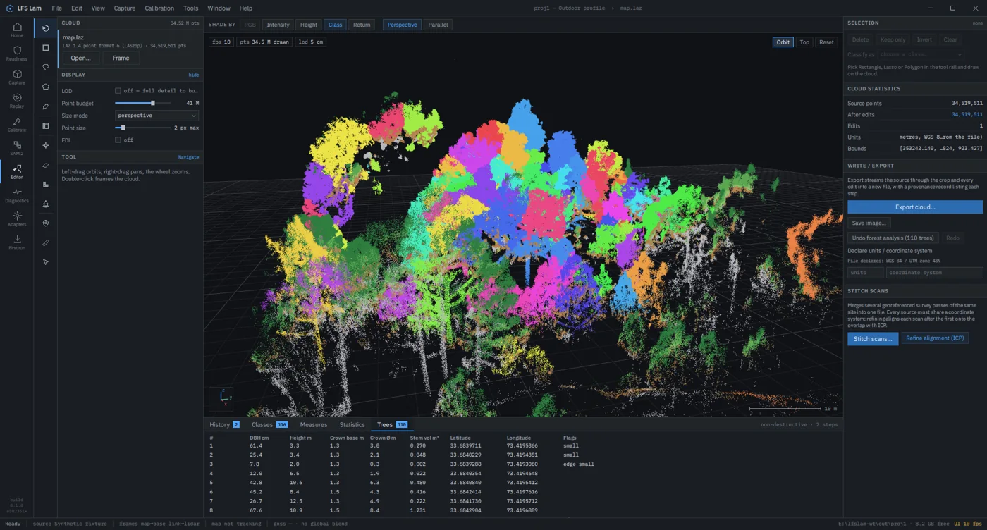
Every stage stays connected to the same project, the same recording, and the same source data.
IN THE FIELD
Connect the rig, check readiness, name the scan, and watch LiDAR-inertial mapping build the scene live. Raw MCAP recording stays the priority.
IN THE STUDIO
Replay, remap, level, georeference, and refine. Loop closure and survey controls turn captured motion into a usable spatial record.
IN THE HANDOFF
Edit the cloud without changing its source, then export point clouds, trajectories, QA reports, terrain, and forest data in established formats.
03 / A SYSTEM OF SENSORS
Each sensor adds context to the same spatial workflow. Use the configuration the job calls for.
Livox Avia live capture, motion estimation, loop closure, and dense mapping.
RealSense D455 colour on the map with rig calibration controls.
u-blox F9P positioning, correction input, and projected coordinates.
Parrot Sequoia still capture and registered NDVI / NDRE outputs.
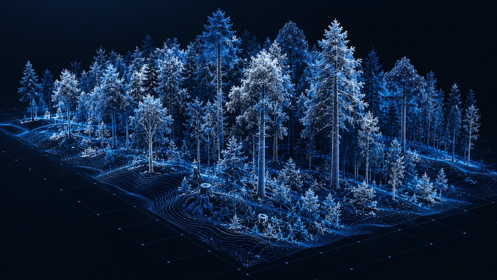
SEE MORE THAN THE SURFACE
From individual trees to the shape of the ground beneath them, spatial data becomes something you can inspect, measure, and share.
Capture the scene, then ask more of it.
Walk through structures and sites, revisit the recording, and produce portable 3D data for the next team.
Bring GNSS into a LiDAR survey and export clouds in the coordinate system your project needs.
Capture multiple returns, classify vegetation, inspect individual trees, and export terrain and inventory tables.
LUNA CAPTURE BETA
The complete capture-to-delivery workflow is available now for Windows 11. Explore a real, evolving multi-sensor suite built around operator control and open deliverables.
Beta scope: full four-sensor field validation and some advanced processing paths remain in progress. The app also includes a synthetic fixture for trying the mapping workflow without hardware.
Windows 11, 64-bit · 82.5 MiB. This beta installer is unsigned; Windows may show a publisher warning.